Remote Sensing & GIS Services
Mapping the Unseen. Visualizing the Future.
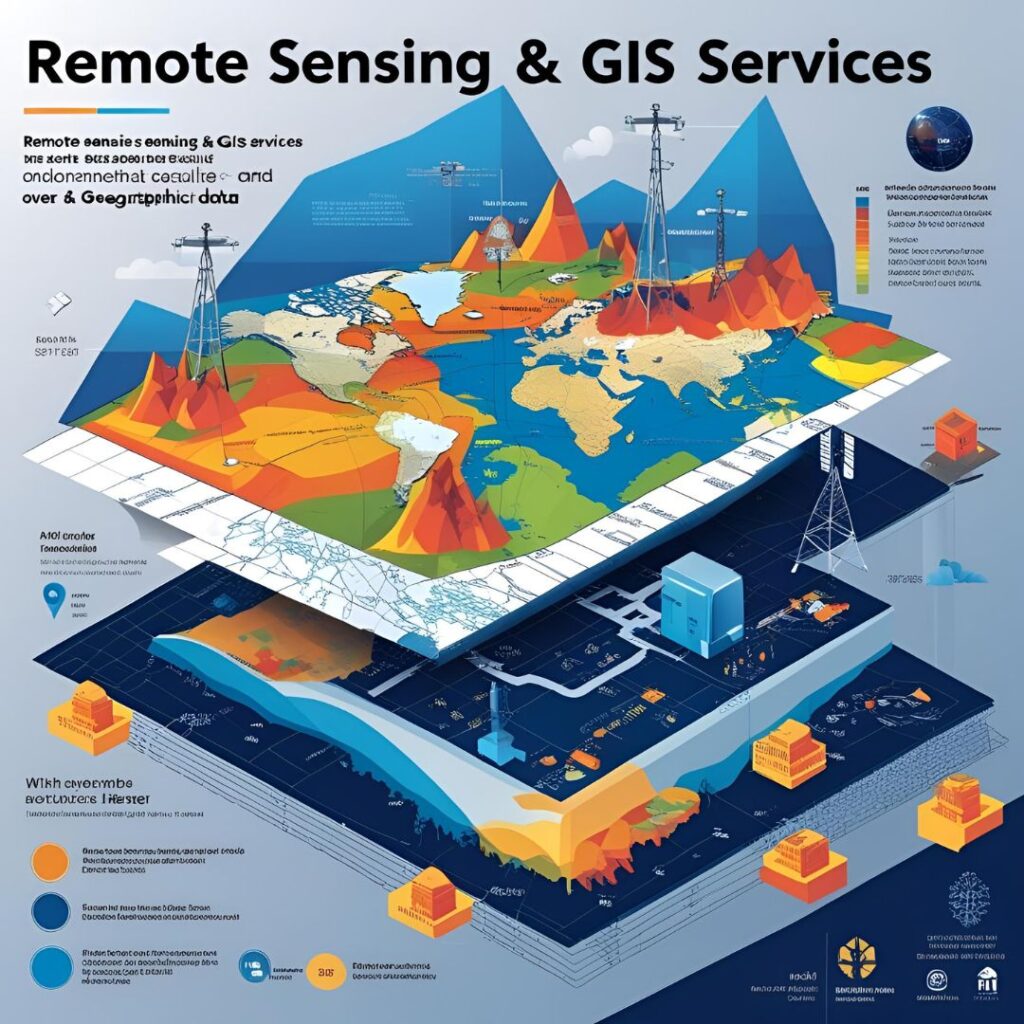
At Geoscience Consulting E.A., our Remote Sensing and Geographic Information System (GIS) services provide the spatial intelligence necessary for modern development and decision-making. We use satellite imagery, aerial data, and ground-truthing techniques to map terrain, analyze land use, monitor environmental change, and support geoscientific investigations.
In a region as diverse and dynamic as Kenya, accurate geospatial data is essential for everything from groundwater exploration to infrastructure planning. Whether you're a government agency, NGO, developer, or researcher—we help you see the bigger picture and zoom in on what matters.
Why Remote Sensing & GIS Matter
Remote sensing allows us to collect critical data over vast or inaccessible areas without physically being there—saving time, cost, and resources. When combined with GIS, this data becomes a powerful tool for analysis, visualization, and scenario planning.
Our team integrates remotely sensed data with field observations and other datasets to provide decision-ready maps, 3D models, and spatial reports. This supports better project planning, resource management, risk mapping, and regulatory compliance.
We also offer customized GIS training, spatial database development, and project-specific mapping tools.
Our Remote Sensing & GIS Services Include:
Below is a comprehensive list of the Remote Sensing & GIS Services offered by Geoscience Consulting E.A.
Identification and analysis of geological structures for hydrogeological and mineral exploration.
Classifying vegetation, urban growth, agriculture, or deforestation trends using multispectral satellite data.
2D and 3D models for elevation, slope, watershed, and surface run-off assessments.
Thematic maps, interactive dashboards, and spatial overlays for project reports and stakeholder engagement.
Time-series analysis to observe environmental, urban, or land degradation changes.