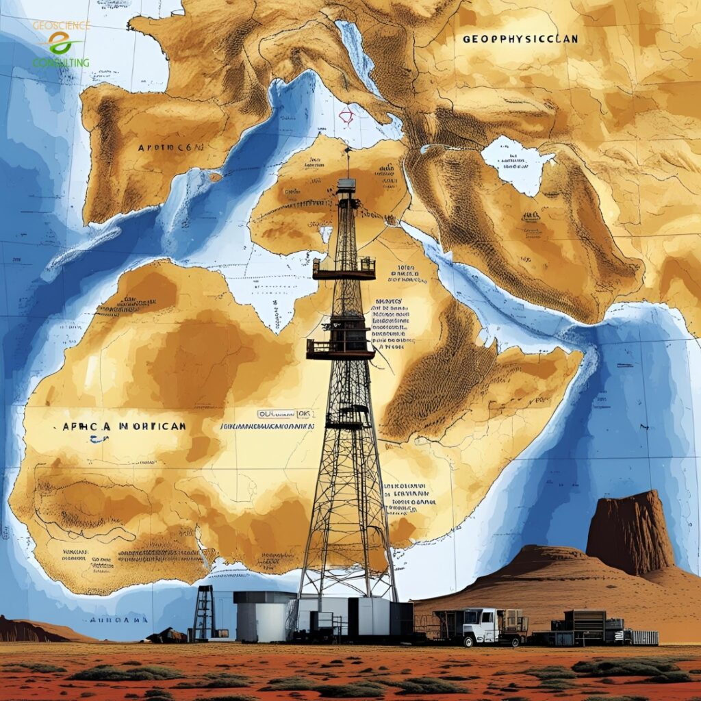
Geophysical Services
Seeing Beneath the Surface—Safely, Accurately, and Efficiently
We provide advanced Geophysical Services that help clients explore, investigate, and map subsurface features without disturbing the ground. Whether you're siting a borehole, planning a foundation, assessing mineral potential, or monitoring groundwater movement, our non-invasive techniques deliver clear, science-based insights below the earth’s surface.
We utilize both time-tested and modern geophysical methods to support water resource development, infrastructure planning, environmental monitoring, and natural resource exploration. Our team of field geophysicists, analysts, and data modelers bring experience across Kenya’s varied geological settings—from Rift Valley basins to coastal plains and volcanic highlands.
We utilize both time-tested and modern geophysical methods to support water resource development, infrastructure planning, environmental monitoring, and natural resource exploration. Our team of field geophysicists, analysts, and data modelers bring experience across Kenya’s varied geological settings—from Rift Valley basins to coastal plains and volcanic highlands.
Why Geophysics Matters
Geophysical methods allow us to gather subsurface data quickly, safely, and with minimal environmental impact. Compared to traditional drilling, they are faster and more cost-effective in the preliminary stages of exploration or site assessment.
At Geoscience Consulting E.A., we not only collect geophysical data—we process, model, and interpret it using industry-standard software and 3D visualization tools. Our approach reduces uncertainty, improves planning, and supports better decision-making for both public and private sector clients.
At Geoscience Consulting E.A., we not only collect geophysical data—we process, model, and interpret it using industry-standard software and 3D visualization tools. Our approach reduces uncertainty, improves planning, and supports better decision-making for both public and private sector clients.
Our Geophysical Services Include:
For groundwater, geothermal, and mineral investigations—offering depth and resistivity profiling.
Mapping deep subsurface features including aquifers and geothermal systems.
Used for water exploration, soil profiling, and foundation studies.
High-resolution imaging for dams, tunnels, and slope analysis.
Correlating geophysical results with geological, hydrological, and GIS datasets for comprehensive analysis.