Geological Services
Revealing Earth’s Structure to Power Smarter Development
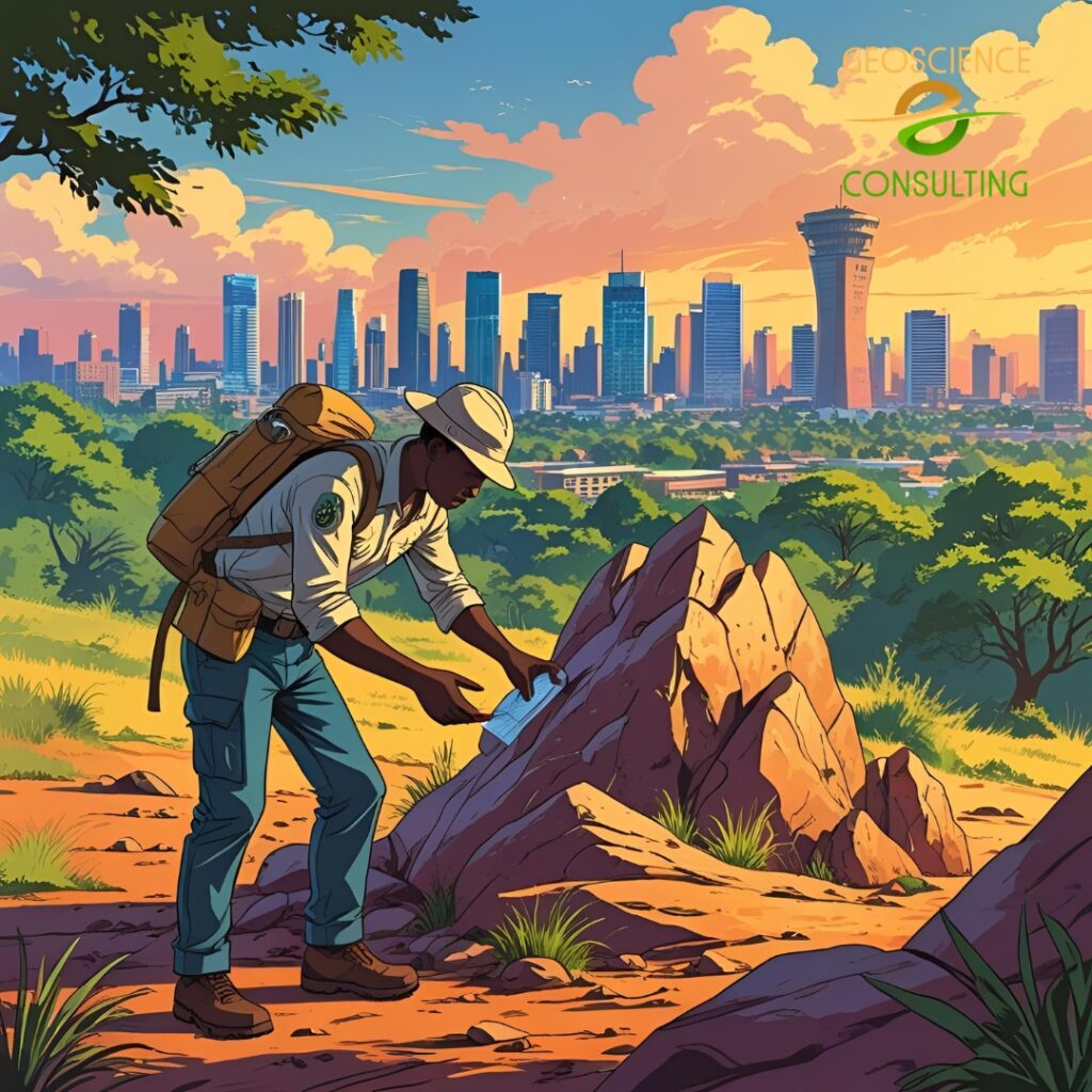
Our Geological Services provide the foundational data needed to understand the earth’s surface and subsurface conditions for safe, sustainable, and profitable development. Whether you're exploring for groundwater, siting a borehole, mapping mineral resources, or preparing a site for civil works, our geologists are equipped with the tools and experience to uncover critical insights beneath your feet.
Kenya’s diverse terrain—from volcanic highlands to sedimentary basins—demands site-specific geological investigations. We help clients navigate this complexity using precise fieldwork, modern tools, and a deep understanding of local geological formations.
Kenya’s diverse terrain—from volcanic highlands to sedimentary basins—demands site-specific geological investigations. We help clients navigate this complexity using precise fieldwork, modern tools, and a deep understanding of local geological formations.
Significance of Geological Services
Geology underpins almost every land-based development activity. Poor geological understanding can result in borehole failure, foundation collapse, or misinformed exploration. Our services reduce such risks by providing accurate interpretations of lithology, stratigraphy, structure, and hydrogeology.<br.
We also combine geological expertise with remote sensing, GIS, and geophysics to support multidisciplinary projects and ensure data synergy.
Our team serves sectors including construction, mining, water, energy, and infrastructure, and we collaborate closely with county governments, consultants, NGOs, and private developers.
Our Geological Services Include:
Identifying rock types, fault systems, and terrain features critical to project planning.
Groundwater surveys, aquifer delineation, and borehole siting for rural and urban water supply.
Geological logging, drilling coordination, and development monitoring to ensure water yield and quality.
Determining well productivity and recommending appropriate pumping systems.
Thin section preparation and microscopic analysis of rock and mineral samples to support exploration and construction material assessment.